The Nightly Forecast Will Never Look the Same: How Weather Training Rewires a Pilot's Eye
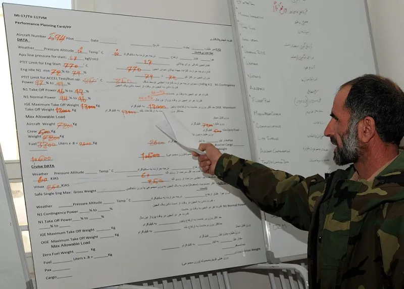
Photo: NATO Training Mission-Afghanistan MC3 Jared Walker/Public Affairs, KAIA, Public domain, via Wikimedia Commons
Every American has watched a local forecaster point at a map and promise rain by Thursday. Most of us nod, grab an umbrella, and move on. Student pilots do not have that luxury. The moment you begin training at an academy like ours, the weather stops being small talk and becomes the single most consequential piece of information you will consume each day — because at 3,000 feet over the prairie, there is no umbrella.
The Alphabet Soup That Runs Your Flight
Before a student ever taxis to the runup area, they learn to decode a METAR — the standardized weather report filed hourly at thousands of airports across the country. What looks like gibberish to the untrained eye is actually a dense, elegant language:
KOKC 121853Z 33012KT 10SM FEW035 SCT250 24/12 A3001
Within weeks, a new student reads that line the way a native speaker reads a sentence: Oklahoma City, observed at 6:53 p.m. Zulu time, wind from 330 degrees at 12 knots, visibility ten statute miles, a few clouds at 3,500 feet, scattered clouds at 25,000, temperature 24, dewpoint 12, altimeter 30.01.
The dewpoint spread — that gap between temperature and dewpoint — becomes an obsession. A narrow spread means moisture is close to condensing. Fog, low ceilings, and rapidly building clouds may be hours away. The general public hears "partly cloudy." A student pilot hears a clock ticking.
Then come the TAFs — Terminal Aerodrome Forecasts — which translate the same language into what the sky intends to do over the next 24 to 30 hours. Learning to compare a TAF against the current METAR teaches something no textbook says outright: forecasts are arguments, not facts, and your job is to adjudicate them.
Reading Clouds Like Street Signs
Ground school gives you the taxonomy: cumulus, stratus, cirrus, and the towering nemesis of every VFR pilot, the cumulonimbus. But the real education happens standing on the ramp at your local field, squinting southwest toward the horizon.
Fair-weather cumulus drifting lazily across a summer afternoon? A gift — smooth air, good reference, easy visibility. But watch those same puffs stack taller than they are wide, watch their bases darken and flatten into a hard line, and a trained eye starts counting minutes. Flattened, ragged bases beneath a growing tower often mean a gust front is coming, and landings in the next hour may get sporty.
Students learn regional tells, too. In Florida, the afternoon thunderstorm is as reliable as a sunrise, and smart instructors schedule the morning slot. In the Great Plains, a lumpy, dry line on the horizon can hide something far worse than rain. Along the California coast, a morning marine layer means a low overcast that will burn off — or not — and the TAF will only get you partway to the answer.
This is the quiet transformation: the sky stops being scenery and becomes signage.
The First Skill That Separates Pilots From Passengers
Ask any instructor what marks the moment a student stops being a passenger and starts being a pilot, and most will not say the first solo. They will say the first weather decision.
A passenger accepts whatever conditions exist. A pilot evaluates them, weighs them against personal minimums, and — critically — is willing to cancel. At Helang Flying Academy, we teach weather briefing as a ritual, not a chore. Call 1-800-WX-BRIEF or open the app, pull the METARs and TAFs, check winds aloft, scan for AIRMETs and SIGMETs, and then make the call out loud. The discipline of that sequence, repeated hundreds of times, builds the judgment that later keeps airline crews and bush pilots alike alive.
The FAA's own accident data has said it for decades: weather-related accidents disproportionately involve pilots who pressed on when the honest answer was to stay on the ground. The skill we are really teaching is not decoding a report. It is saying "not today."
Why You Will Never Watch the News the Same Way Again
Here is the part nobody warns you about: this training follows you home.
Six months into ground school, you will find yourself listening to the evening forecast with a different ear. "A cold front moves through tomorrow" now means a wind shift, a squall line, possible low ceilings behind it. "Morning fog patches" makes you calculate how long until the dew burns off and whether a 7 a.m. departure is realistic. You will catch yourself glancing at lumpy clouds on a road trip and estimating their bases. Your family will find it mildly insufferable. Your future passengers will find it deeply reassuring.
That is because weather interpretation is not memorization — it is a permanent upgrade to how you observe the physical world. The METAR is just the written form of a fluency you develop in the air, where the sky writes its own reports in real time: the haze thickening near the horizon, the windsock swinging ten degrees, the smooth air turning choppy as thermals wake up.
Start With the Sky You Already Have
If you are considering flight training, you can begin today without spending a dollar. Pull up the METAR for your nearest airport tonight. Decode it. Compare it to what you see out the window. Do that for two weeks and you will already understand the sky better than most people who have flown for years.
Then come visit us, take an introductory flight, and let an instructor show you what the view looks like when you finally understand the forecast from the inside. Your wings are waiting — and now you will know exactly what the weather is doing before you earn them.